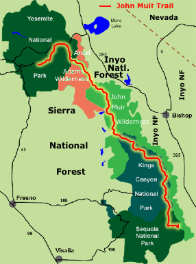
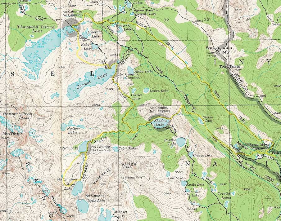
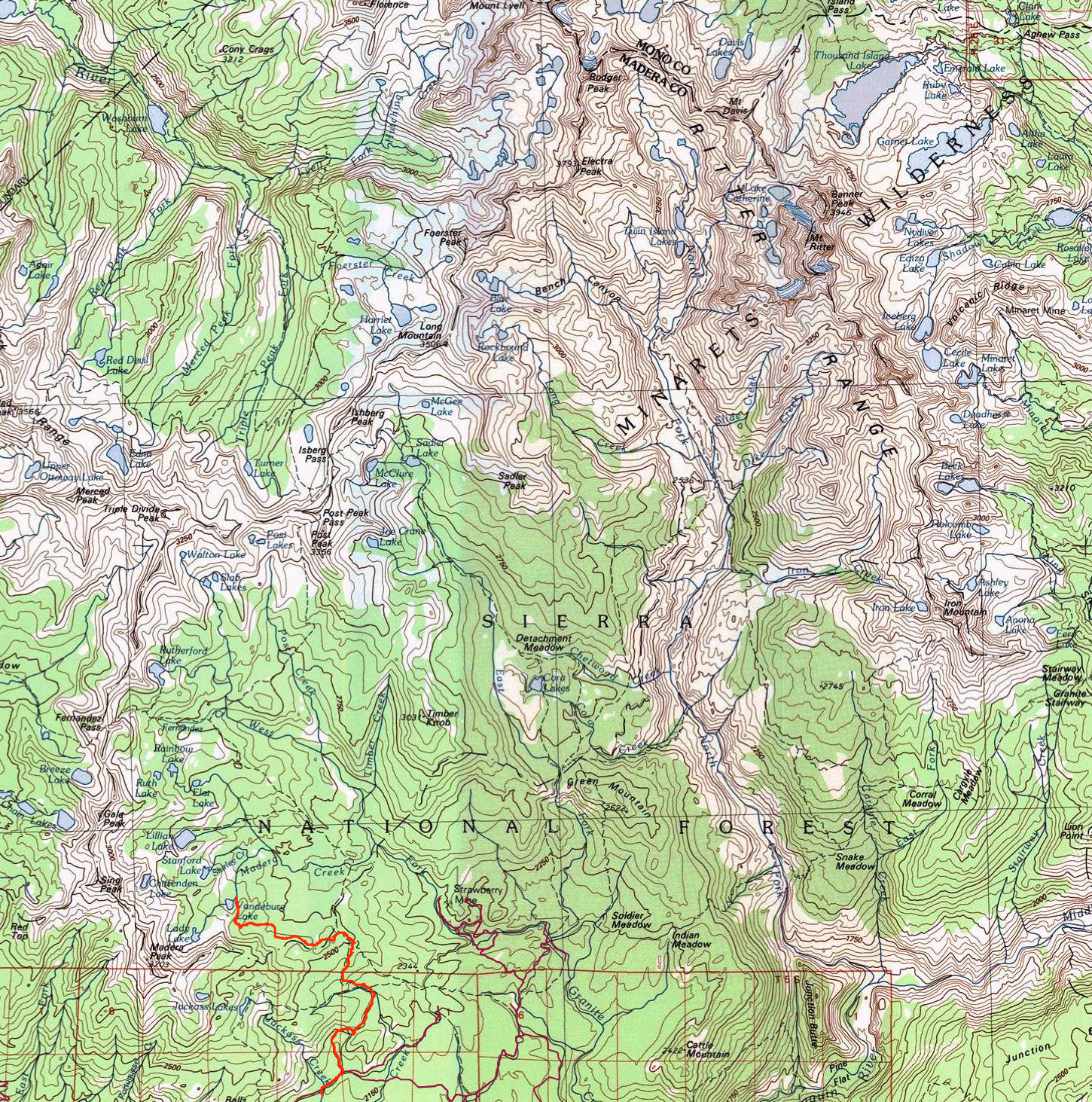
 First established in 1964 as the Minarets Wilderness, the Ansel Adams Wilderness lies immediately southeast of--and contiguous to--Yosemite National Park. The 231,005-acre wilderness is a spectacular setting of alpine meadows, lakes, and rugged peaks that encompass the headwaters of the North and Middle Forks of the San Joaquin River. 138,660 acres are in Sierra National Forest. It is home to some of the most breathtaking scenery in the Sierra, if not the entire country. Indeed, likely for this very reason, the wilderness at one time was part of Yosemite. Unfortunately, mining interests meant it was removed from the park's jurisdiction in the early part of the 20th century. Fortunately, few claims were ever successful, and the area remains mostly pristine to this day. Elevations within the wilderness range from 3,500ft, at Hells Half Acre along the Middle Fork San Joaquin River, to 13,157ft at the summit of Mt. Ritter. Like several other areas in the High Sierra, the area is home to spectacular wildflower displays in the spring, and equally impressive quaking aspen displays in the fall. Also found throughout the wilderness are abundant Red fir, Jeffrey pine, and some gorgeous stands of mountain hemlock at the higher elevations. Adding to the alpine feel, a number of small glaciers are found on the northern and northeastern aspects of the highest peaks. There are also a number of fairly large lakes on the eastern slope of the precipitous Ritter Range. The wilderness was renamed from the Minarets Wilderness to honour the famous landscape photographer and environmentalist by the 1984 California Wilderness Act. The 1984 law also more than doubled the size of the Minarets Wilderness, extending it south from its original southern boundary in the vicinity of Hemlock Crossing and Devils Postpile all the way to its current extent near Lake Thomas Edison.
Maps: Reference: Ansel Adams Wilderness, at trails.com, which is a chapter from "Sierra South" from Wilderness Press. The High Sierra: Peaks, Passes, and Trails By R. J. Secor Ansel Adams Wilderness at Wilderness.net Ansel Adams Wilderness at USFS's Sierra National Forest page Yosemite & The Southern Sierra Nevada: A Complete Guide, Including Sequoia & Kings Canyon, Death Valley & Mammoth Lakes (Great Destinations) by David T. Page www.hikeJMT.com Bowler Group Campground to vanderburgh Lake
Return to Southern Sierra Nevada or Humphreys Basin Outing
|
